Trending


Flood costs are highest in formerly redlined areas
New data shows that race is also a factor when determining whether a neighborhood is at high risk of flooding
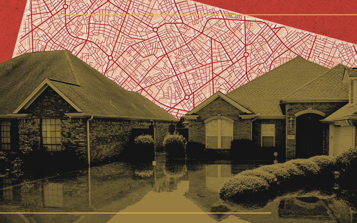
Flooding costs U.S. homeowners billions of dollars every year, and new data shows that those costs are highest in areas that were previously redlined, Bloomberg CityLab reported.
The analysis, compiled by Redfin using information from the First Street Foundation and the University of Richmond’s Mapping Inequality project, found that more than $107 billion worth of homes that are at high risk for flooding are in big cities’ historically redlined neighborhoods.
“Put another way, 8.4% of homes in historically redlined neighborhoods face high flood risk nationwide, compared with 6.9% of homes in historically greenlined neighborhoods,” according to the report. A “greenlined” neighborhood is one that was deemed more desirable — and, historically, ones where the population was predominantly white.
Sacramento, California had the highest racial flood risk disparity according to Redfin’s analysis. More than 1 in 5 homes in the capital city’s formerly redlined neighborhoods face a high probability of flooding today, compared to 11.8 percent of homes in areas that were not redlined.
Flood risk affects property values, which in turn can further entrench patterns of homes in once-redlined areas gaining less equity than those in non-redlined areas. In Chicago, the total value of homes at high flood risk reached $3.6 billion in non-redlined areas versus $19.7 billion in redlined areas, a difference of more than $16 billion. In New York City, the difference is more than $12.6 billion, according to the report.
[Bloomberg CityLab] — Keith Larsen