
The landmass known fondly as New York City has always been changing. And over the years some of the city’s islands have gone the way of Atlantis or been subsumed into the five boroughs. Here is a look at NYC’s lost islands via Curbed.
Wrights/Locust Island:
Originally, an island of the South Bronx, the small waterway that isolated it from the mainland Bronx was eventually filled in. Today, it is Locust Point, a residential community with a yacht club.
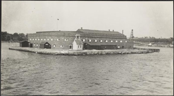
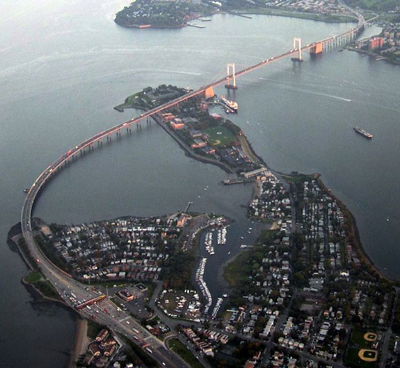
Fort Lafayette:
An island coastal fortification, Fort Lafayette was built atop Hendrick’s Reef, an island in the Narrows of New York Harbor. It was destroyed in the 1960s and replaced by one of the pillars of the Verrazano-Narrows Bridge.
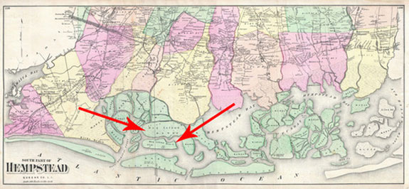
Hog Island:
Hog Island is about a mile-long, and was likely destroyed in the 1893 New York hurricane.
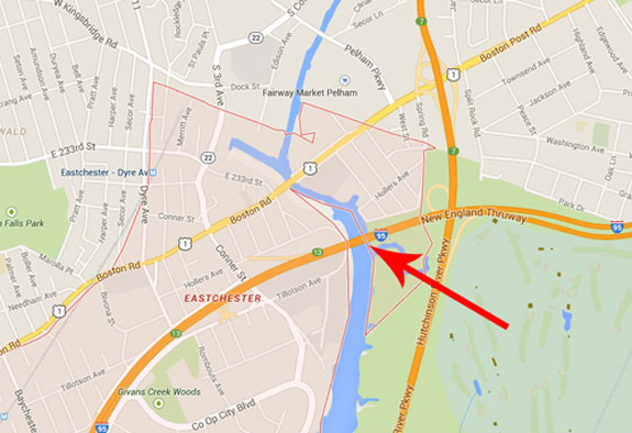
Codling Island:
In 1880, the Hutchinson River in the Bronx was straightened and a small hunk of land was severed, creating Codling Island. But by 1900, Codling Island rejoined the mainland after the channel silted up.
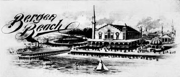
Bergen Island:
A small island off Canarsie’s coast, known as Bergen Island, was connected to the mainland using landfill in the early 1900s. Thus the neighborhood of Bergen Beach was created. [Curbed] – Christopher Cameron