There’s a new map that will help you chart exactly how much Manhattan has changed over the years. This week, the New York Public Library released an interactive website that allows users to travel back in time using the Library’s historical photography database.
The site, called OldNYC, features a digital map where users can view photos of the island dating as far back as the early 19th century.
There are photos for almost every intersection in the city, so you can see the evolution of historical landmarks and even your own address.
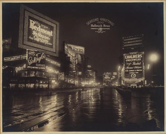
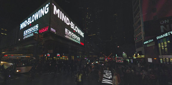
Here’s a look at the lights of Times Square in 1920.
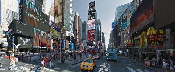
And here is Times Square today.
This is an intersection on 8th Avenue in 1925, 25 years before it would become home to one of the city’s major transportation hubs.
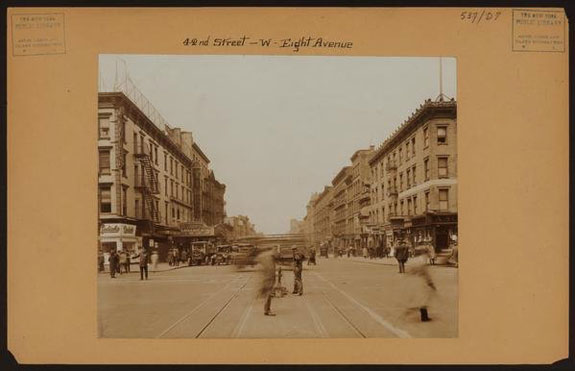
It’s now the Port Authority Bus Terminal.
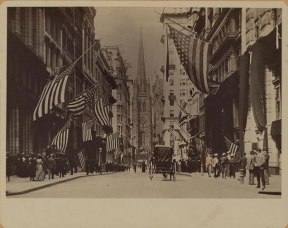
This is the view of Trinity Church from Wall Street in 1904.
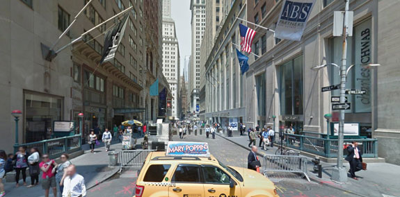
This is a similar shot of Wall Street today.
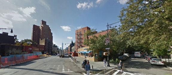
It’s unbelievable how rustic the West Village looked in 1927.
Here’s the West Village today.
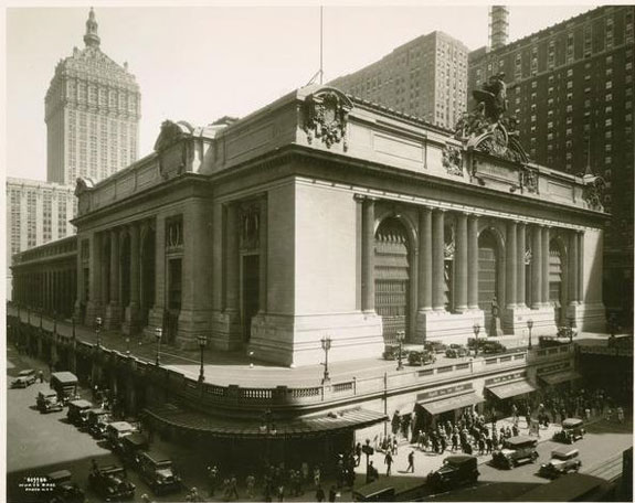
Here is what Grand Central Station looked like during the roaring twenties.
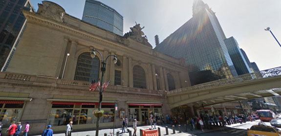
Surrounded by skyscrapers, this is what the station looks like today.
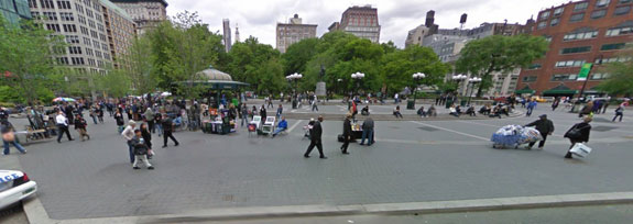
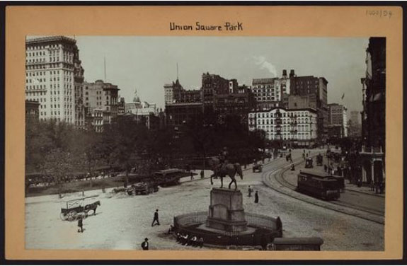
Here is a picture of Union Square in 1904.
George Washington’s statue still looks over the square today.